Formosat-5 Has Many Civil and Environmental Applications|福衛五號太空拍攝影像 已多用途利用
加入公視會員,
按讚收藏你關注的報導
發布時間:
更新時間:
The National Space Organization's Formosat-5 satellite takes images that have widespread applications for tracking and analyzing environmental change. Let's take a look
Formosat-5 has twice the color resolution of Formosat-2, and can detect four spectral bands: red, green, blue and near-infrared. A team led by National Central University Associate Professor Huang Chih-yuan uses Formosat-5 images to survey underwater terrain around the Dongsha Atoll.
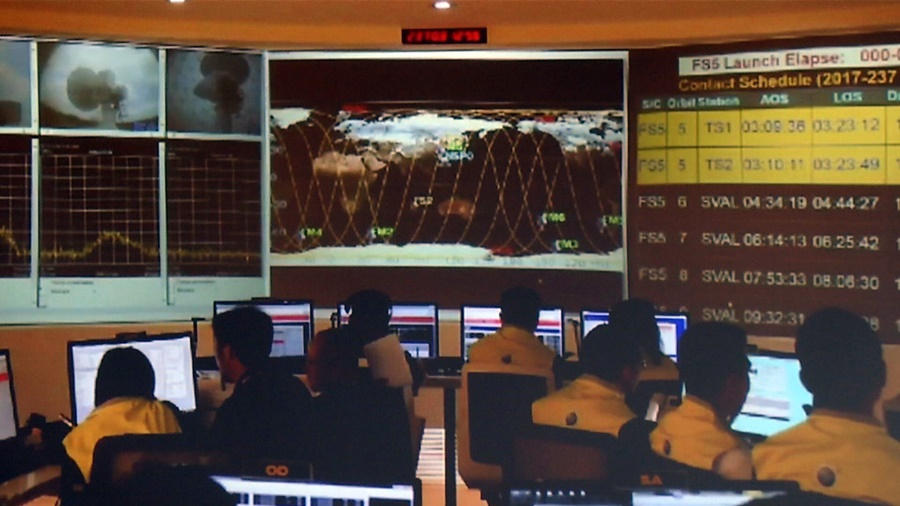
Once everything was set up, we could measure the water depth along the near coast and use that data to create a chart like this. These charts are provided to boats and ships.
The satellite images save the team both money and manpower as it drafts electronic navigational charts. National Taiwan University Professor Chu Tzu-how, meanwhile, uses Formosat-5 images, radars and drones to analyze Taiwan's rice paddies and forecast production.
First of all, we use them for crop detection. So, rice paddies get first priority. In reality, the Council of Agriculture is at the center of many controversies relating to the eight "sensitive" crops. Produce (production volume) can also be controversial.
With twice the (color resolution), there are many applications for tracking and analyzing geographical and land change. (Formosat-5) is more effective in these areas than Formosat-2.
The National Space Organization says Formosat-5's primary applications are in civil and land safety. It has also generated tens of millions of NT dollars' worth of commercial applications. The next satellite in line for launch, Formosat-8, will have twice the resolution of Formosat-5. Formosat-8 will be launched in 2022.
海洋下的礁石環成一圈,福衛五號拍攝到的東沙環礁,彩色解析度比福衛二號多了一倍,還能偵測藍綠紅與近紅四段波光,中大黃智遠副教授團隊以此特性,反演出東沙環礁的水底地形。
中大太空及遙測中心副教授 黃智遠表示:「建立起來之後,我們就可以知道說,這個在近岸的部分,它的水深,可以透過這個水深的資訊,然後去了解說,去建立這樣一個地圖出來,然後供船隻,他們可以去做使用。」
不用到現場船測,不用空載光達測深,以福五影像建置水底地形,進一步產製電子航行圖,省去大量人力與經費。台大朱子豪教授則以福五光學影像,搭配雷達與無人機,以3D立體方式判釋台灣水稻田,進一步推算一年水稻的產量。
台大理學院空間資訊研究中心教授 朱子豪表示:「第一個就是作物偵測嘛,所以水稻田最重要,事實上農委會,他們有很多最近有很多爭議,都是八大敏感作物對不對,還有很多這個蔬菓的(產量)部分。」
國家太空中心主任 林俊良表示:「(彩色解析度)多了一倍的話,我們在很多的一些地形遷變,或是在一些土地上面,量測上面的話,它的一些應用上,會比福二來得更有效率。」
太空中心指出,福五影像主要應用在民生與國土安全,截至目前為止,商業應用也有數千萬收益,而目前籌畫下一顆遙測衛星福衛八號,解析度將比福五多一倍,預計2022年發射。