Google Earth Unveils Camouflaged Military Base|谷歌北桃竹中衛星地圖 軍事設施曝光
加入公視會員,
按讚收藏你關注的報導
發布時間:
更新時間:
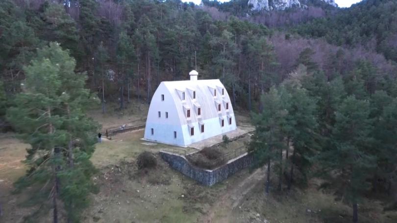
Google Earth recently restored its 3D view to maps of Taipei, Hsinchu, Taoyuan and Taichung. The military has, in accordance with the law, asked Google to remove images of 15 restricted military zones. Unfortunately, a new combat command center on Taoyuan's Longgang that has not yet been designated a restricted military zone, was unexpectedly revealed in Google's 3D images.
Google Earth recently restored 3D views for certain regions, which revealed a camouflaged military base in Taoyuan. In 3D view, bunkers and antennas are clearly visible. The Ministry of National Defense has had to declare the base a restricted military area.
The Ministry of National Defense has asked for the removal of images of a total of 15 restricted zones. So far, images of all but four -- that is to say, 11 -- of the restricted military areas have been removed. We will continue working with the Ministry of the Interior on this front.
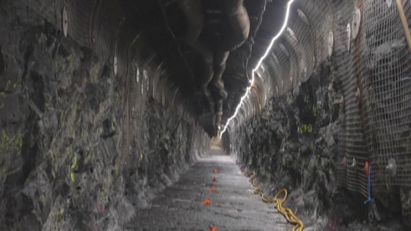
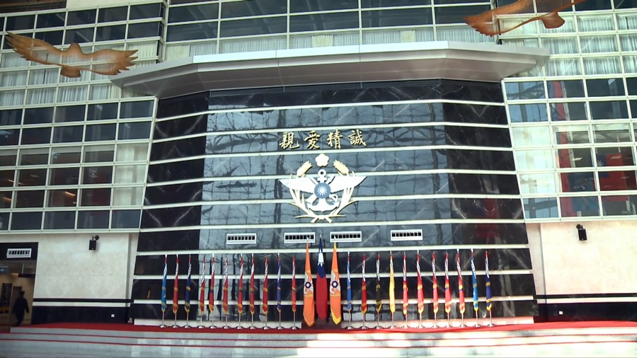
The ministry has been working on its "Chongqing No. 14" combat power project for over a decade to move four major combat command centers underground. If Taipei's Hengshan Command Center is attacked, the underground command center can replace it immediately. The map also clearly shows the 21 artillery troops around the periphery along with parked rocket cars and roads, and even chemical warfare and information and communication camps.
Satellite images provide -- are an important puzzle tool. They may not be able to give you a complete picture, but the more puzzle pieces you collect, the clearer you can see the whole picture. If this happens to be a picture of a combat command center, it will of course have a certain level of importance. (The Ministry of National Defense) should have had the area classified as a restricted zone before starting construction.
The ministry says it will ask Google to remove 3D imaging in accordance with the Land Surveying and Mapping Act and Vital Area Regulations in the future.
Google衛星地圖最近恢復部分地區3D功能,其中位在桃園的龍岡圓環附近,一處過去未曾曝光的營地,卻因此曝光;過去從平面角度檢視,由於偽裝良好,看起來像平面草地,但透過3D地圖,裡面恰似碉堡陣地,和通訊天線都被看光光。國防部坦承,這個區域目前並未列在,國軍現行公告的軍事管制區。
國防部發言人 史順文表示:「我們國防部,是依照已經公告的要塞,及軍事管制區,所涵蓋的一共15個管制的位置。目前已經移除了4個,至於說其他的11個軍事管制區的影像,移除的部分,我們也會持續地,協調內政部來做管制。」
國防部十餘年來,積極從事「重慶14號」戰力保存工程,針對本島四大作戰區的指揮中心,展開地下化工程;若台北大直衡山指揮所遭受攻擊,這處地下指揮所就可以取代指揮機制。此外、周邊的21砲指部,地圖也可看到內部停放的火箭車路也被立體化,停放車輛的數量;甚至化兵群和資電群營區,圖資都可3D檢視。
中華戰略前瞻協會研究員 揭仲表示:「衛星照片,它就是提供一個拼圖的主要的工具,它也許沒辦法一張告訴你全貌,但是這照片蒐集得越多,你就越容易再搭配其他的訊息,逐漸找出它的全貌的概況。這地方如果是備援作戰指揮中心,它有一定的重要性,你(國防部)甚至在開始施工之前,就應該要先把它,列入機敏地區進行管制。」
國防部表示,未來會依據國土測繪法及要塞地帶保壘法,持續要求Google辦理3D影像移除作業。